Google Earth’s incredible 3D imagery, explained
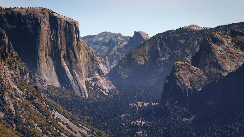
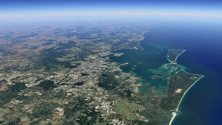
Google Earth is an amazing tool that lets ordinary humans—sans wings or jetpack—zoom around the world. And, as you might know if you’ve checked out the new Google Earth, the 3D imagery looks insane. (As in, mind-blowingly realistic insane.)
-
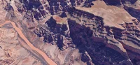 Grand Canyon
 -
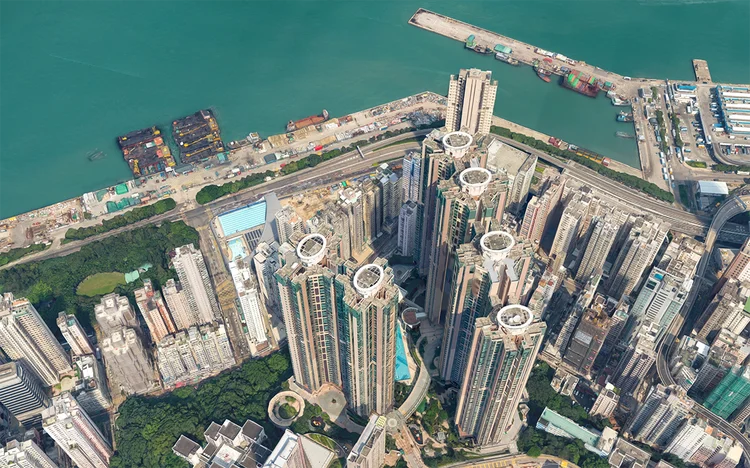 Hong Kong
 -
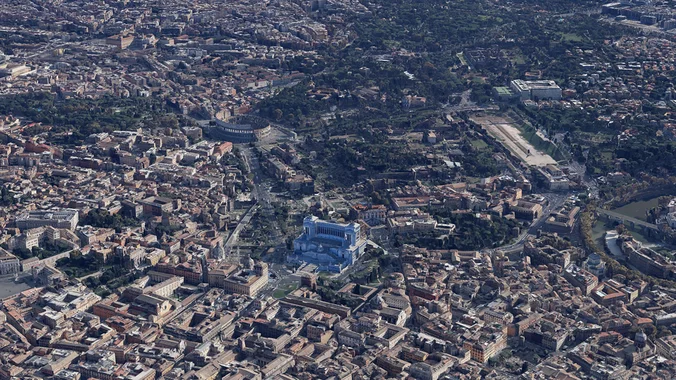 Rome
Rome -
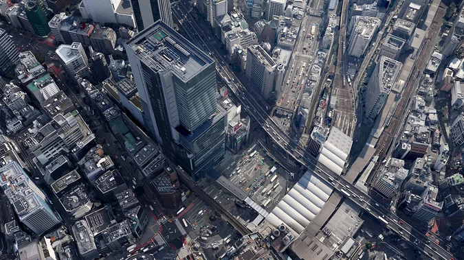 Tokyo
Tokyo
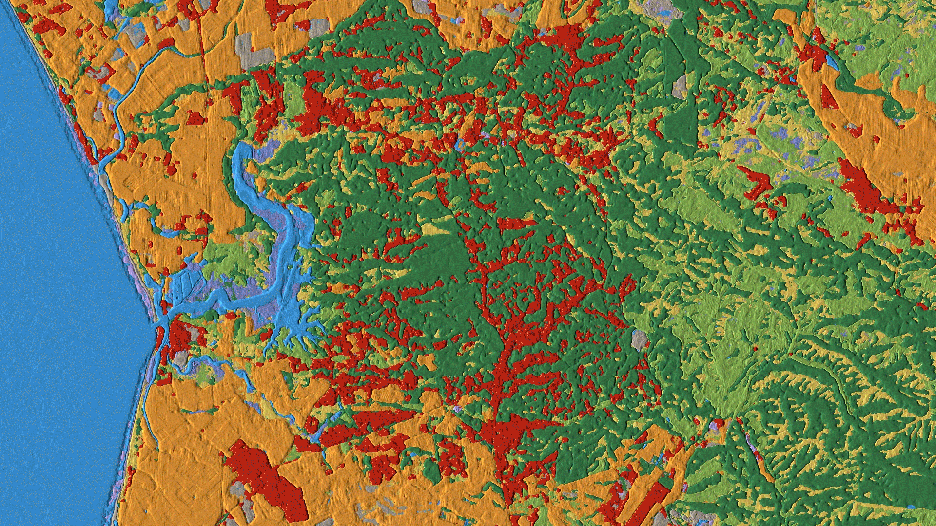
But how does it get that way? I talked with a couple people from the Earth team to find out. I can’t tell you everything I found out here (because I made this video that *hint hint* I’d love for you to watch) but I will say that building Google Earth includes billions of pixels, a love of spring, confetti-colored depth maps, small planes that fly in lawn mower-esque patterns, and much, much more.
Thanks for watching—and hope to see you soon on Nat & Friends.